
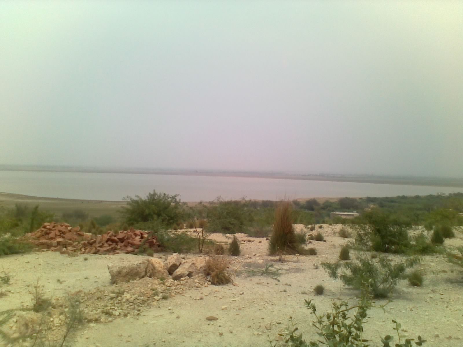
Nammal Gorge & Lake
Salt Range · also Nammal Nala
Photo: Lareb Qudsi, CC BY-SA 4.0
A scenic gorge and reservoir in the western Salt Range cut through the Paleocene–Eocene succession, and the type locality of the Nammal Formation. The Patala–Nammal–Sakesar interval here records the first Palaeogene marine transgression and carries the region's main hydrocarbon source rocks.
- Type section of the Nammal Formation
- Nummulitic Sakesar Limestone forms the gorge cliffs
- Patala/Nammal shales are the primary Potwar petroleum source rocks
The geology here
The stratigraphic units exposed at this site — every geological fact above traces to their cited sources.
Nammal Formation
Early Eocene (Ypresian)Shale, marl and limestone.
Sakesar Formation
Early Eocene (Ypresian)Light grey to off-white, thin- to thick-bedded, nodular to massive limestone with subordinate marl and shale, and chert nodules common in the upper part.
Patala Formation
Late Paleocene (Thanetian)Shale, marl, limestone and sandstone, with coal in the lower part.
Quantitative assessment
Scored with the Brilha (2016) method — each value 0–400. Desk-based first pass; the full score matrix ships with the open dataset.
Nearby geosites
Sources
Every statement on this page traces to a registered source. Full records ship with the open dataset.
This geosite is an editorial selection; the geological facts trace to the cited sources on the linked unit pages. Coordinates are indicative and not surveyed. ← All geosites · Suggest a correction